By Hattie Wilder Karlstrom, Bard College ’20, CHRA MA Program ’23
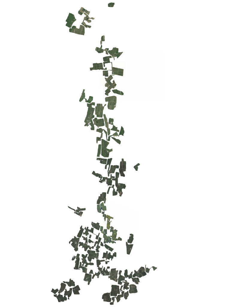
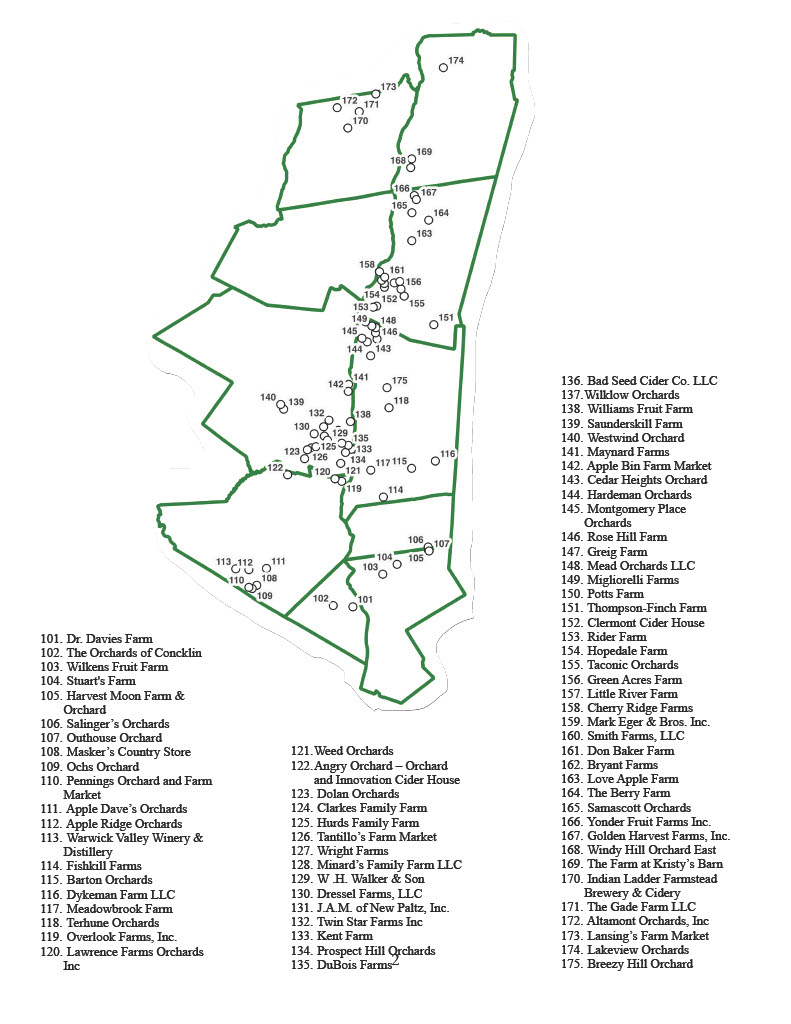
The two maps below were created in the context of the Center for Human Rights and the Arts graduate course “Mapping Global Foodscapes,” taught by 2021-2022 fellow in human rights and the arts Nadine Fattaleh. Using geographic information system (GIS) datasets, each map aims to visually represent the apple orchards that exist in New York’s Hudson Valley region. The first map outlines the county lines that make up the Hudson Valley, and shows pinpoints that mark each orchard with a reference guide of names for the orchards. Using this information, the second map was created to represent these orchards more artistically. Taking satellite images, each orchard was cropped and then placed on a map in the approximate orientation in space to its neighboring orchards. This was done to represent the physical land coverage of these orchards. In both of these maps the presence of the Mahicantuck (Hudson) River is noticeable, not in its representation on either map, but in the clustering of orchards around it, representative of the social and economic resources the river provides. The county lines that run through the middle of the second map also demarcate where the river flows. This project was undertaken with a desire to think more about the apples that this Big Apple state grows as a driver of economic (tourism and employment), cultural (seasonal festivals and other cultural markers), and demographic change (most notably through the recruitment of international workers for orchard labor) in the region.
Bard College has a stake in New York’s apple production as the college acquired the land farmed by Montgomery Place Orchards in 2016, which has led to opportunities for programming and course work on food production, food science, and local food systems.

Reply